Geospatial data management plays a key role in transforming health systems. By connecting health information with geographic data, it enables better planning, more equitable resource allocation, and more effective health surveillance. For governments, donors, and health organizations, having a clear geographic vision has become essential for making informed decisions and strengthening health governance.
Managing geospatial data means collecting, organizing, and analyzing health data with a geographic dimension. Beyond simple maps, it is a critical infrastructure for understanding how health services interact with populations and territories.
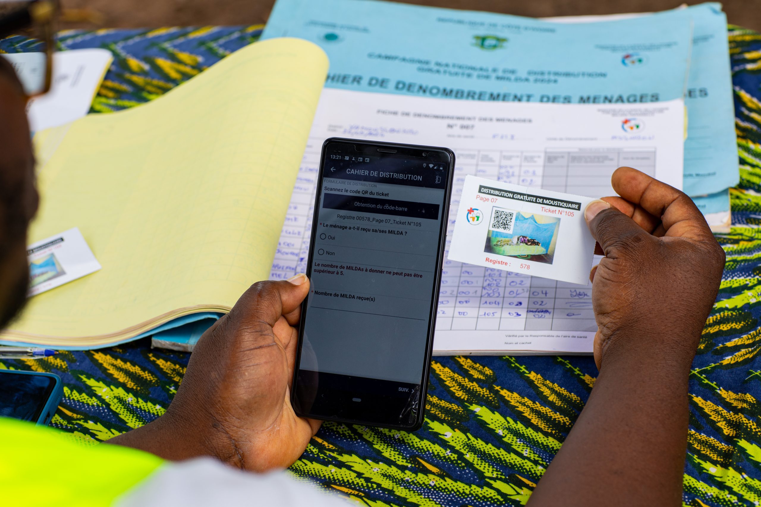
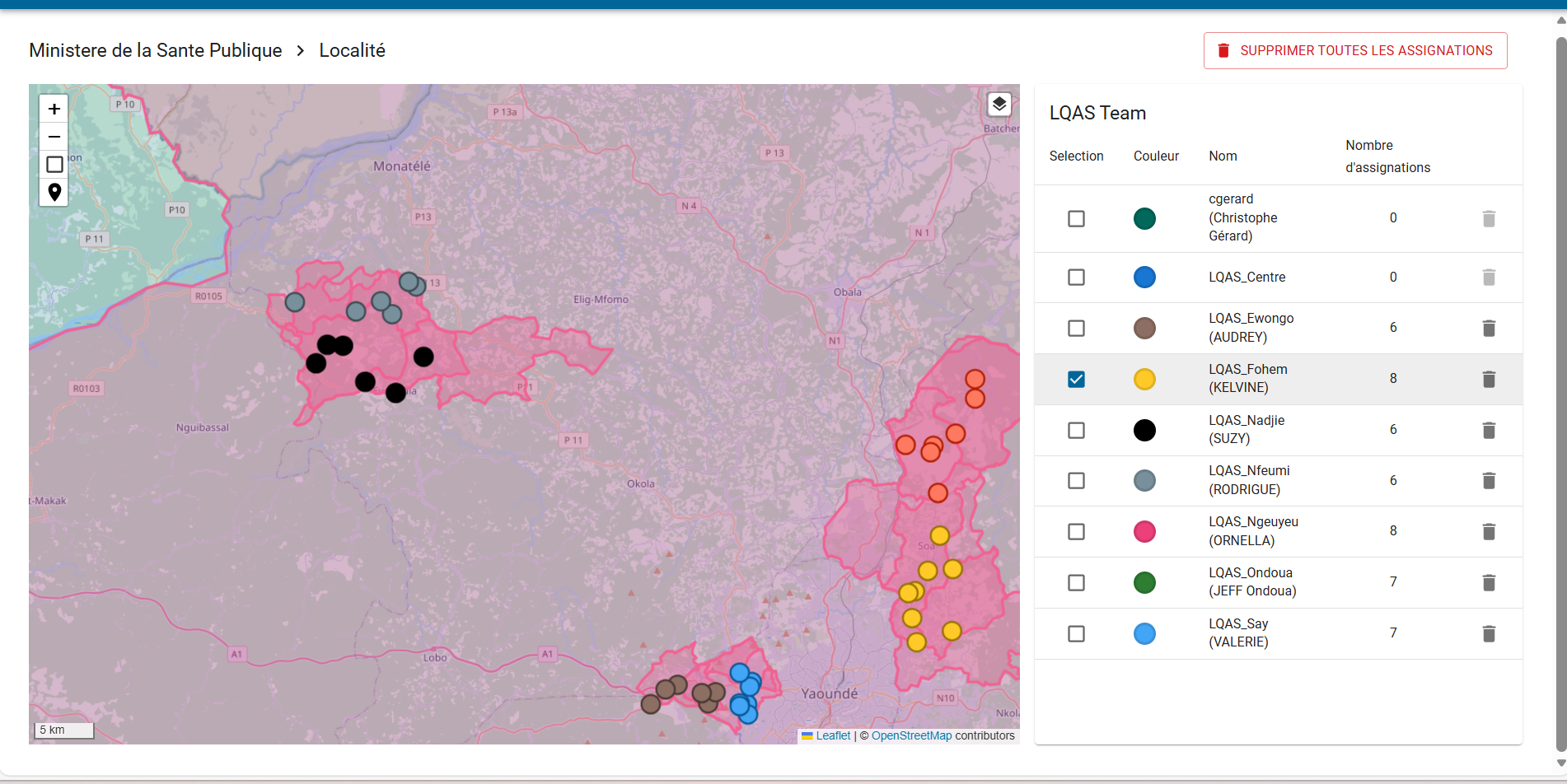
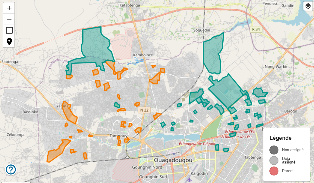
Continuously updating georegistries and health facility registries makes it possible to distribute health resources more effectively, and in turn, to improve the planning, delivery, and monitoring of health services.
In the health sector, geospatial data management provides the foundational layer on which any information system is built. Whether mapping villages, health facilities, or populations, it creates the structural base upon which reporting and analysis can be developed.
Geospatial data management is far more than a mapping tool: it is a strategic pillar for strengthening health systems. By providing a reliable data foundation and enabling multidimensional analyses, it empowers decision-makers to anticipate, plan, and intervene in a targeted way.
At Bluesquare, we design digital solutions (such as IASO) that integrate the geospatial dimension to transform how governments, donors, and health organizations use data. By combining georegistries, health surveillance, and planning tools, we help build systems that are more equitable, responsive, and effective.
Contact us to learn how our geospatial data management solutions can strengthen your health programs and improve access to care.